


3D Laser Scanning for Buildings in the UK
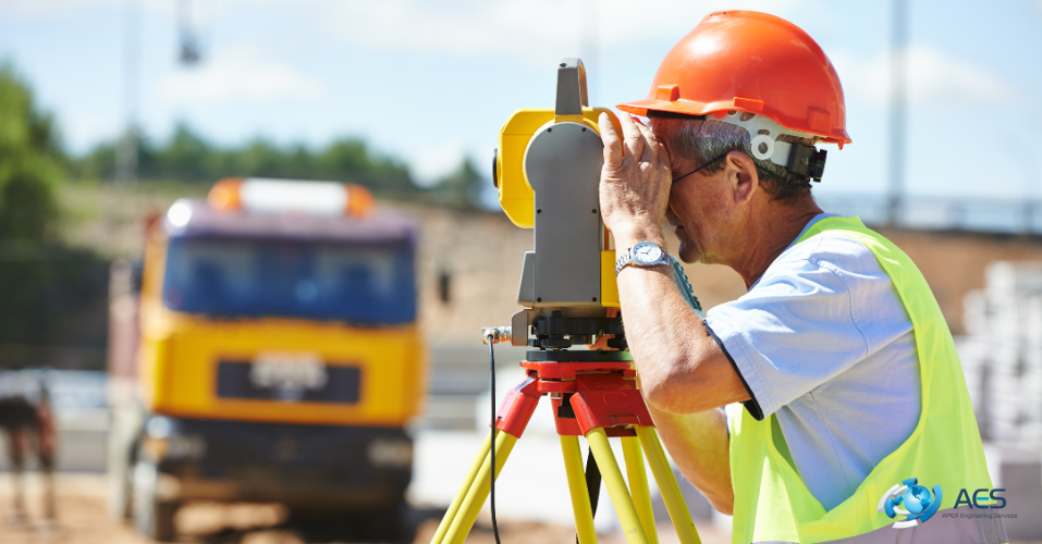
3D Laser Scanning for Buildings Smarter UK Projects
Accurate building information is essential for successful construction, refurbishment, and property development projects. Even small measurement errors can create problems when designing new layouts, coordinating building services, or fitting new components into an existing structure. 3D Laser Scanning for Buildings offers a practical way to capture detailed site measurements and create digital representations of physical spaces.
Across the UK, architects, engineers, surveyors, and construction professionals can use laser scanning to understand existing building conditions before work begins. Apex Engineering Services is a business to contact when exploring engineering and surveying support for your project. Discuss your requirements directly to confirm available scanning services, deliverables, and project suitability.
What Is 3D Laser Scanning for Buildings?
3D laser scanning is a surveying technology that captures millions of measurement points from surfaces within a building or around a structure. These points form a detailed digital dataset known as a point cloud, representing the geometry of walls, floors, ceilings, columns, and other visible features.
Unlike traditional measuring methods that record individual dimensions, laser scanning can capture a large amount of spatial information in a relatively short period. The resulting data can support design development, existing-condition documentation, and coordination between project teams.
How Does Building Laser Scanning Work?
A laser scanner is positioned at selected locations around the site. It records distances and spatial information from visible surfaces, creating a collection of measurements. Multiple scans may then be aligned and processed to produce a more complete representation of the building.
Depending on the project's requirements, the processed data may be used to create floor plans, sections, elevations, or three-dimensional models. The level of detail and final output depend on the equipment, scanning strategy, processing workflow, and agreed scope of work.
Which Buildings Can Be Scanned?
Building laser scanning can be useful for a range of properties, including:
-
Commercial offices and retail premises
-
Industrial buildings and warehouses
-
Residential properties and apartment blocks
-
Historic buildings requiring careful documentation
-
Public buildings undergoing refurbishment
-
Structures being assessed for redevelopment
The suitability of a scanning approach depends on site access, building complexity, surface visibility, and the accuracy required for the intended application.
Key Benefits of 3D Laser Scanning for Buildings
Accurate existing-condition information can help teams make better-informed decisions before committing to design changes or construction work.
Detailed Measurements and Existing-Condition Records
A point cloud provides a detailed record of visible building geometry at the time of the survey. This can help project teams investigate dimensions, identify irregularities, and understand how existing features relate to one another.
For renovation projects, this information can be particularly useful when original drawings are missing, outdated, or inconsistent with the building as it currently stands. However, scanning does not automatically reveal concealed services or hidden structural elements.
Better Design Coordination
Architects, structural engineers, and building services designers often need to work with the same existing building information. A suitable digital survey can provide a shared reference for design decisions and help identify potential spatial conflicts before installation begins.
For example, a refurbishment team may use scan data to understand ceiling heights, column positions, or available service routes. This can reduce reliance on assumptions, although professional checking and coordination remain essential.
Support for Renovation and Retrofit Projects
When modifying an existing property, accurate measurements can help designers plan new layouts, replacement components, and building upgrades. Laser scanning may also support the documentation of complex architectural details where conventional measurement is difficult.
The technology does not eliminate every site visit or guarantee error-free construction. Its value depends on appropriate survey planning, data processing, quality checks, and clear communication of measurement limitations.
Construction Layout & Robotics: Connecting Digital Data with Site Work
Construction Layout & Robotics brings digital design information into the physical construction environment through positioning technologies, automated equipment, and coordinated workflows. When reliable survey data is available, it can support more consistent setting-out and help teams translate design intent into site measurements.
From Point Clouds to Construction Layout
After a building has been scanned, processed data can help establish the relationship between existing conditions and proposed designs. Surveyors and engineers may use appropriate digital models and control points to plan the location of walls, openings, equipment, and other construction elements.
The scan itself is not a replacement for setting-out control or independent verification. Teams must ensure that coordinate systems, reference points, tolerances, and design information are suitable for the intended work.
The Role of Robotics in Construction
Robotic total stations and other positioning technologies can help construction professionals transfer design coordinates to physical locations. Depending on the project setup, these tools may improve repeatability and reduce some manual measurement tasks.
When combined with suitable digital workflows, scanning and construction layout technologies can support coordination between surveying, design, and installation teams. The exact benefits depend on project complexity, equipment compatibility, and the experience of the people using the systems.
Choosing a 3D Laser Scanning Provider in the UK
Selecting the right provider involves more than comparing prices. The survey must deliver information that meets the needs of your project.
Questions to Ask Before Commissioning a Survey
Before contacting Apex Engineering Services, prepare details about the building, project stage, site access, and intended use of the data. Ask potential providers:
-
What scanning equipment and survey methods are appropriate?
-
Which deliverables are included, such as point clouds, drawings, or 3D models?
-
What accuracy and verification procedures apply?
-
Which file formats can be supplied to your design team?
-
How long will surveying and processing take?
-
Are site access restrictions or additional visits likely to affect the cost?
Clear answers help establish expectations and ensure the survey is planned around your project's actual requirements.
Frequently Asked Questions
1. How accurate is 3D laser scanning for buildings?
Accuracy varies with the equipment, scanning distance, site conditions, registration method, and quality-control process. Confirm the required tolerances with your survey provider.
2. Is laser scanning suitable for older buildings?
Yes, it can help document complex layouts and visible architectural features. Special care may be needed where access is restricted or surfaces are difficult to scan.
3. What is a point cloud?
A point cloud is a digital collection of measured points representing the visible surfaces of a scanned environment. It can support drawings, analysis, and 3D modelling.
4. How does scanning support construction layout and robotics?
Scan data can provide existing-condition information for design coordination, while compatible positioning equipment can help transfer verified design coordinates onto a construction site.
5. How can I enquire about scanning services?
Contact Apex Engineering Services to discuss your building, required outputs, project deadlines, and technical requirements.
Plan Your Project with Apex Engineering Services
3D Laser Scanning for Buildings can provide valuable existing-condition data for UK construction, refurbishment, and redevelopment projects. From detailed measurements and digital documentation to workflows involving Construction Layout & Robotics, suitable surveying technology can help teams plan work with greater clarity.
Contact Apex Engineering Services to discuss your project requirements and confirm the scanning and engineering services currently available. Explain your intended use for the data, ask about deliverables and accuracy, and request a tailored quotation to help you plan your next project with confidence.

 Turkish